Two Floods, Not One
The confusion is understandable. On July 13, 2026, heavy overnight monsoon rain sent the Kimrung Khola surging violently into the Modi Khola near Ghandruk, one of the classic gateway villages on the ABC route. Then, on August 26, a far larger and deadlier disaster struck the Nepal-Tibet border - a glacier collapse that unleashed a wall of mud, ice, and water down the Trishuli corridor, devastating the Langtang and Rasuwa region.
These are two completely different river systems on opposite sides of the Himalayan crest. The August glacier-collapse flood tore through Rasuwa district and the Langtang Valley, nowhere near the Annapurna massif. Trekking groups who happened to be at Annapurna Base Camp that week were confirmed safe, with guides noting the flood site was far from their route. So when people ask "is ABC affected by the Nepal flash flood," the honest answer depends on which flood they mean.
The Real Damage: Ghandruk and the Kimrung Crossing
The flood that actually touched the ABC trail was the earlier, smaller one in July. It hit hard at a specific pinch point: the Syauli Bazaar and Kimrung Khola confluence, right at the gateway to Ghandruk village. The surge destroyed the Kimrung suspension bridge, washed out a paved stretch of the Nayapul–Birethanti–Ghandruk road, swept away a riverside restaurant, and damaged a second one. Around 300 tourists were briefly stranded in Ghandruk when the road collapsed during a holiday weekend, unable to drive out even though the village itself was never in danger.
That distinction matters more than almost anything else in this story: the road failed, but the mountain didn't close. Ghandruk sits well above the river on a hillside, and its teahouses kept sheltering trekkers throughout. The damage was concentrated entirely at the lower gateway, the first day or so of the standard route, not anywhere near the high trail or the base camp itself.
Is the Annapurna Base Camp Trek Actually Open now?
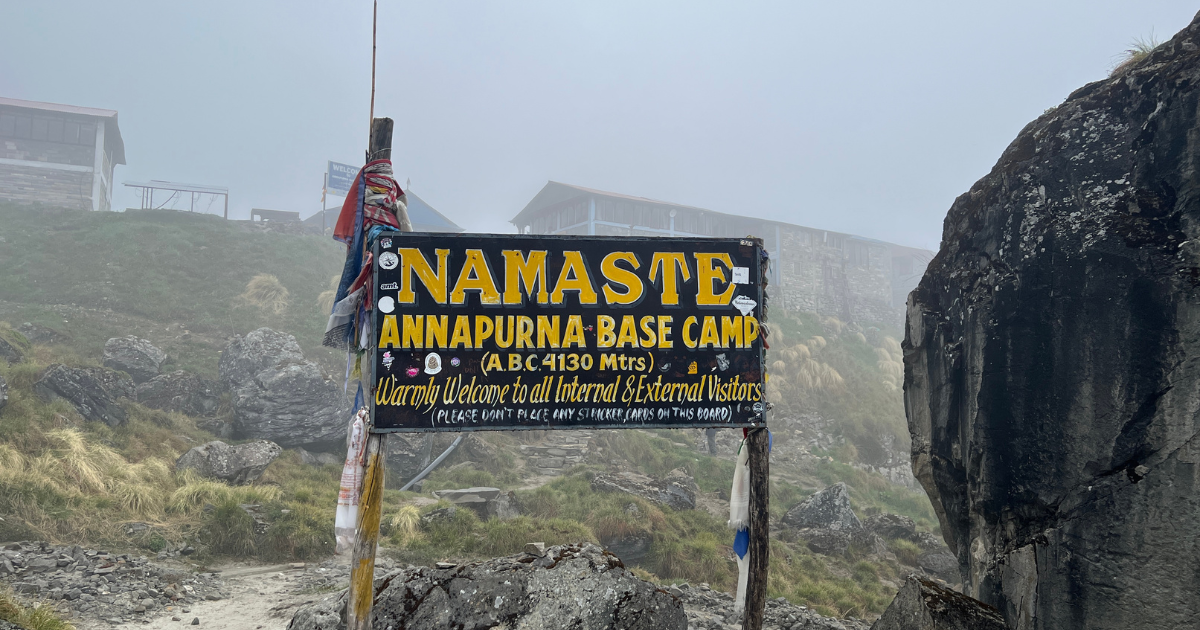
Yes - on foot. That's the detail that gets lost when disaster headlines travel faster than trail updates. Vehicles cannot currently drive the last stretch into Ghandruk because of the Syauli Bazaar washout, but trekkers walking the route have continued reaching Chhomrong and beyond via a rerouted path. Guided groups have been completing the full circuit successfully since just days after the flood.
The working detour runs through Samrung, where an intact crossing over the Kimrung replaces the destroyed direct bridge, then on to Jhinu Danda - itself a well-loved variation thanks to its natural hot springs beside the Modi Khola - before rejoining the classic trail at Chhomrong. From Chhomrong upward, the ascent through rhododendron forest toward the Annapurna Sanctuary and base camp has been reported walkable throughout, with only the ordinary monsoon caution around slippery sections and localized landslide risk that applies to any Himalayan trail in July and August.
In practical terms, the reroute adds somewhere around half a day to a full day of extra walking compared with the old direct crossing - a manageable addition if you build a buffer day into your itinerary, but a genuine problem if you're running a tight, back-to-back schedule with no slack.
What about Vehicle Access?
This is the piece still unresolved. The Pokhara-to-Nayapul drive continues to operate normally, since that stretch of road is untouched. It's only the final leg from Nayapul into Ghandruk that remains severed. Local authorities have been preparing an unpaved bypass via Khulibang–Mohariya–Tamu–Birethanti, but it's being prioritized for motorcycles and light two-wheelers first, not loaded tourist jeeps.
Anyone planning an itinerary around a direct jeep drop at Ghandruk should assume that plan needs adjusting and build in a walking segment instead. A full rebuild of the paved road will take longer, with repair crews battling ongoing monsoon rain and saturated, unstable ground - most operators expect meaningful progress to accelerate only once the rains ease toward September.
How the Rest of the Annapurna Region Compares
It's worth zooming out, because the wider Annapurna region has come through this monsoon in noticeably better shape than the headlines might suggest. The Annapurna Circuit - the separate Besisahar–Manang–Thorong La–Muktinath–Jomsom loop on the far side of the massif - has not reported any flood damage in either event. The Ghorepani Poon Hill trail, which shares part of the same Ghandruk gateway corridor, saw its vehicle access disrupted the same way ABC did, but its walking routes have stayed good for trekking with local guidance.
Even after the much larger August disaster in the Langtang region, operators monitoring the region have consistently reported that Everest Base Camp, the Manaslu Circuit , and the Annapurna routes sit in separate drainage systems entirely and were not touched. If your original plan was a Langtang or Gosaikunda trek, ABC has actually become the trip many operators are now recommending as the closest substitute in length and altitude gain, since it's reached from Pokhara without going anywhere near the affected Trishuli corridor.
Should you still book it?
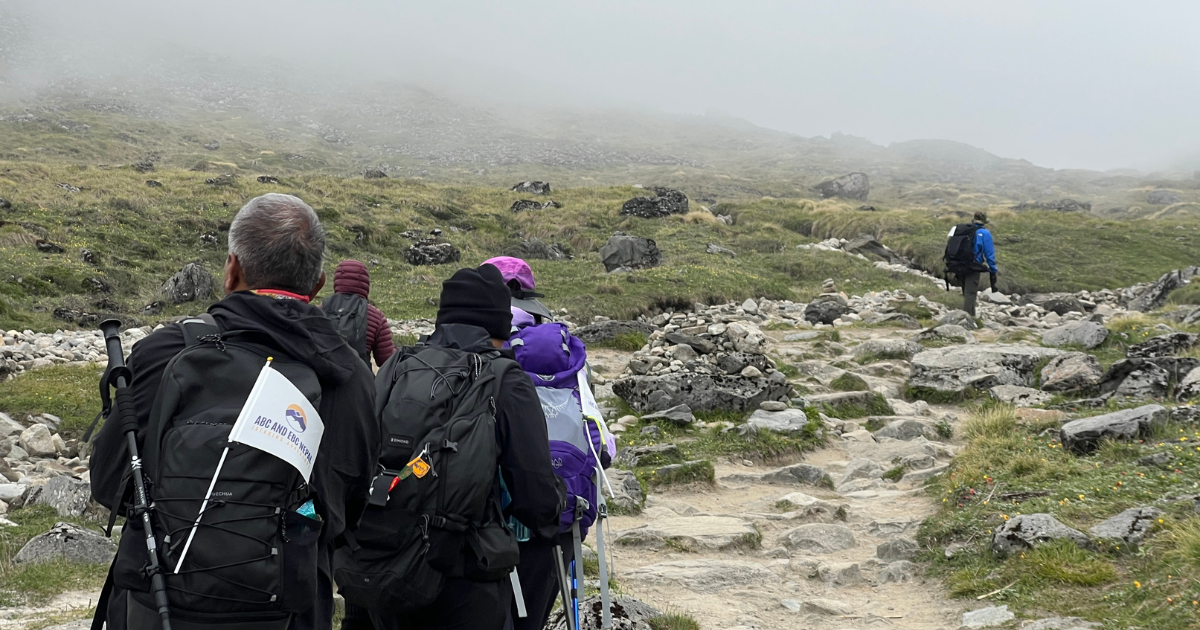
If your priority is quiet, green trails and you don't mind rain, cloud cover, and a rerouted first day or two, the trek is genuinely doable right now, provided you go with a licensed local guide who knows the current Samrung–Jhinu Danda path and can read daily conditions on freshly disturbed ground. Guides, insurance covering trekking delays and evacuation, and flexible dates aren't just good advice during a normal monsoon season - after a flood that took out a bridge and a stretch of road in a single night, they're close to non-negotiable.
If what you actually want is dry trails and clear, unobstructed views of the Annapurna Sanctuary's amphitheater of peaks, it's reasonable to hold off for the post-monsoon window in October and November , when conditions typically stabilize fast, and repair crews get the access road back into shape.
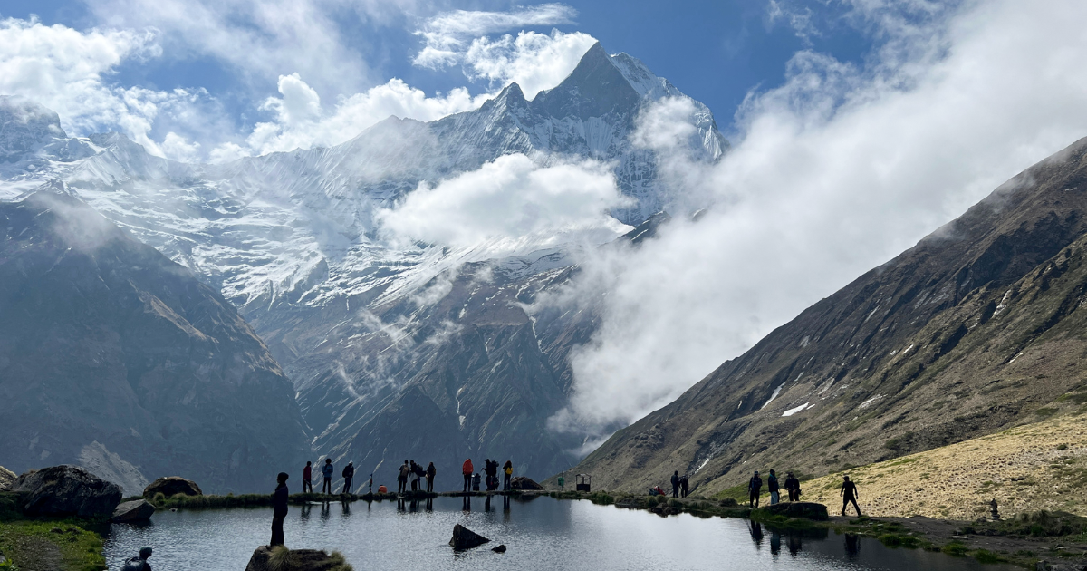
Either way, the core experience that draws people to Annapurna Base Camp - the long climb through forest and terraced villages into that final wide bowl of ice and rock - hasn't gone anywhere. What changed is the first day of the walk-in, and that's a detour, not a closure.